The Cisco's Guarantee
Cisco's is committed to building a long term rewarding relationship with all of our clients. When you purchase from Cisco's you can do so with complete confidence on all items purchased.

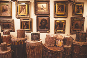
Browse our vast collection of original Native American and western bronzes, paintings, photography & more.

Shop our collection of authentic Native American turquoise jewelry including vintage and contemporary Navajo, Zuni and Hopi pieces.

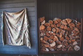
Shop our diverse collection of vintage décor, custom furniture, one-of-a-kind lighting, and high-end taxidermy.


Thank you for your submission, we will return your request as soon as possible!
Cisco's is committed to building a long term rewarding relationship with all of our clients. When you purchase from Cisco's you can do so with complete confidence on all items purchased.

